Across the globe, Bechtel is connecting people and communities. From air and rail transportation to digital connections, Bechtel is building and designing smarter cities that are more efficient, safer, and cleaner.

A Better World has to be
Connected
Explore
“Building and designing smarter cities that are more efficient, safer, and cleaner.
”
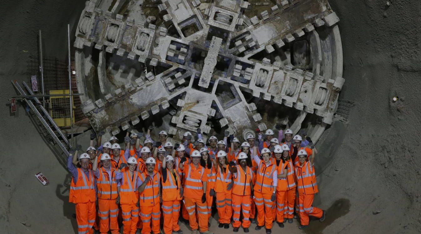
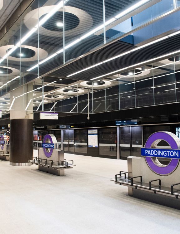
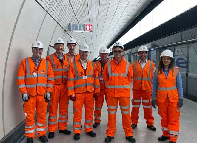
U.K.
Crossrail’s
Elizabeth Line
Infrastructure
We recently completed our services on the Elizabeth Line. The 73-mile (117-km) railway has 41 stations improving connections across London, to Heathrow Airport, and to stations in the East and West. The reliable and innovative railway increases London’s rail capacity by 10% while reducing journey times and boosting economic development.
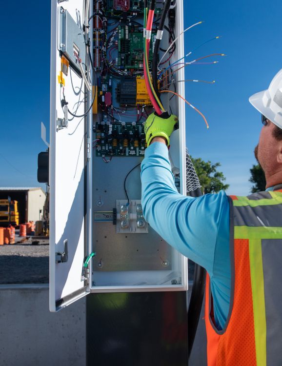
U.S.
First Student
Infrastructure

Building a more connected and sustainable future is only possible if we have the infrastructure in place to support it. Bechtel is working with First Student, the largest provider of student transportation services in North America, to design and build electric charging stations for its new fleet of emission-free school buses.
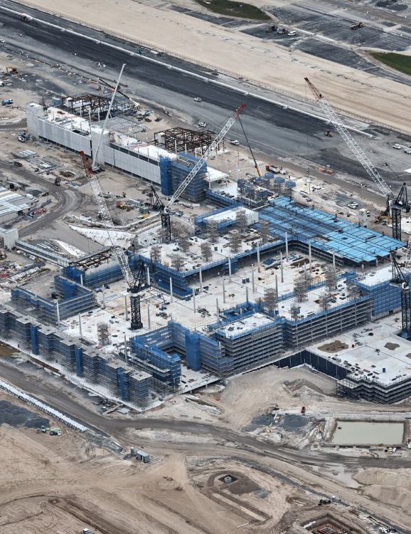
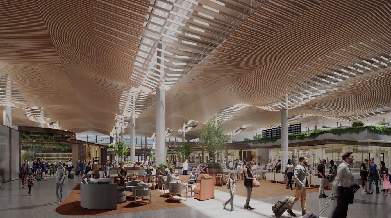
Australia
Western
Sydney Airport
Infrastructure
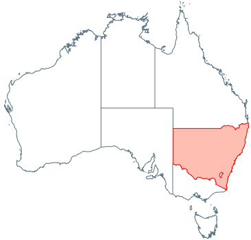
As part of our effort to build global gateways and ensure more efficient connectivity, Bechtel is helping deliver the Western Sydney Airport. The airport, built for international, domestic, and freight flights, will support regional economic development and have a minimal impact on the environment with its sustainable design.
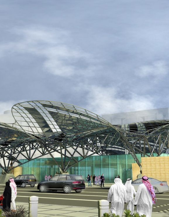
Saudi Arabia
Riyadh Metro
Infrastructure
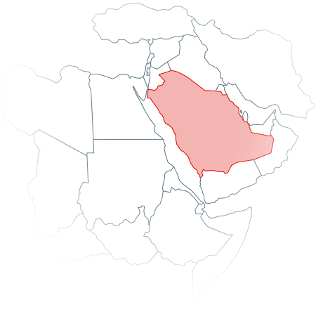
We are continuing our work on the Riyadh Metro, a landmark metro that will help revolutionize transport in the region. Riyadh’s population of nearly 6 million is forecast to increase to 8 million by 2030. The new metro system will meet the demands of the growing population while reducing traffic congestion, improving air quality, and ensuring greater access to economic opportunities across the city.
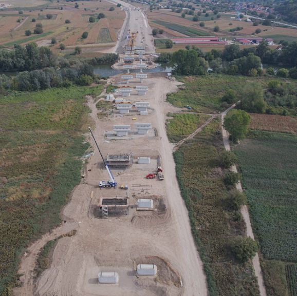
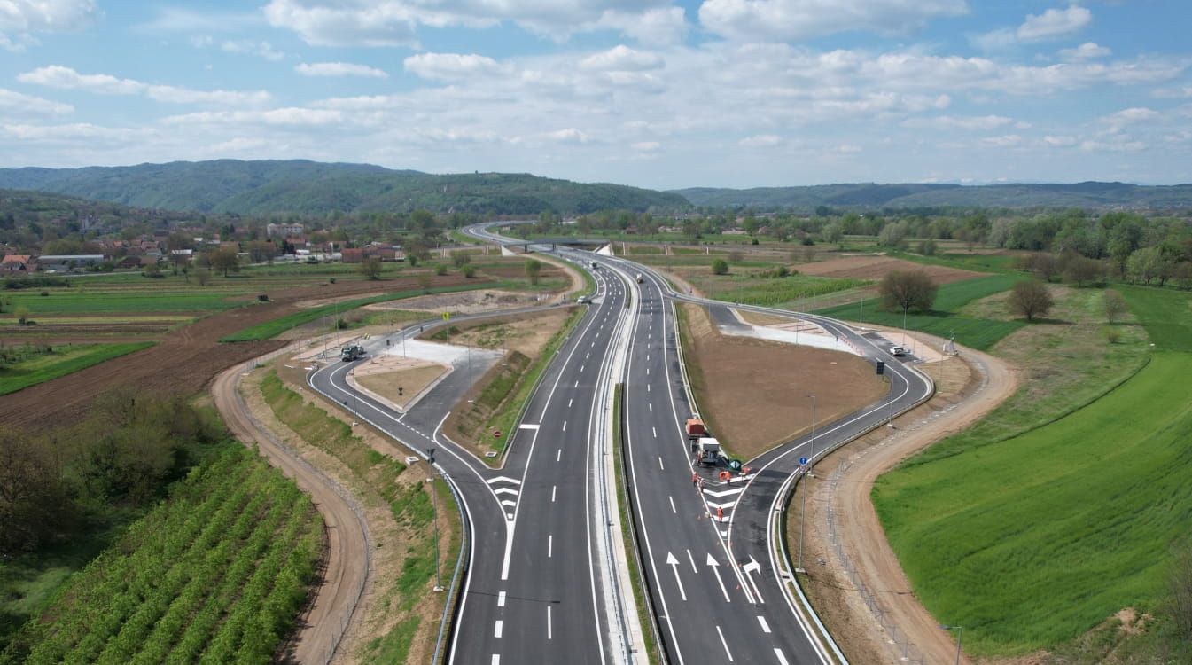
Serbia
Morava Corridor Motorway Project
Infrastructure
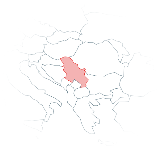
Working alongside our longtime partner ENKA, Bechtel is building the Morava Corridor, a motorway and an expansive telecommunication network that will improve connectivity and create stronger links to Western Europe. As Serbia’s second major transport artery, it will connect communities and businesses from Pojate in the east to Preljina in the west, and link the country’s North-South motorway between its borders with Hungary and North Macedonia.